Authors: Maurizio Santoro, Oliver Cartus, Martin Herold, Arnan Araza and Jukka Miettinen
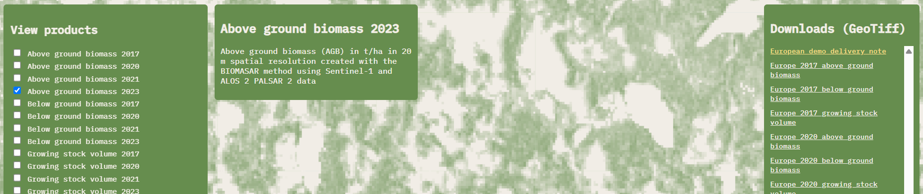
One of the main objectives of the FCM project continuation was to extend the temporal range of the pan-European growing stock volume (GSV), above ground biomass (AGB) and below ground biomass (BGB) maps. We are happy to announce that this objective has been achieved as a set of new pan-European maps have been made available in the FCM product portal. The new dataset consists of four maps, covering years 2017, 2020, 2021 and 2023. All maps are provided in 100 m and 20 m resolution versions. Note that also the 2020 and 2021 maps have been re-processed and will thereby replace the earlier products.
In addition to JAXA providing access to ALOS-2 PALSAR-2 data for the production of the version 2 maps, Gamma Remote Sensing further improved the methodology. The new set of pan-European maps relies on an operational chain that implements Sentinel-1, ALOS-2 PALSAR-2 as well as ICESat-2 data and auxiliary data (e.g. land cover). In addition to the larger amount of L-band data, the improved mapping methodology use more extensive auxiliary layers based on satellite LiDAR data and a new approach for bias model reduction. All in all, this results in improved map quality and better consistency with the CCI Biomass maps.
The accuracy of the maps was evaluated by GFZ using a set of NFI plots and Airborne LiDAR Scanning (ALS) datasets across Europe. The maps capture the spatial distribution of biomass across the continent well. It has to be remembered that the maps have been designed for large area monitoring and the absolute values are inaccurate at the level of individual pixels. Averages, in particular at NUTS levels, are more reliable.
Further description of the methodology and accuracy assessment results can be found in the Delivery Note, also available through the portal. This document lists also important limitations and considerations for the users of the maps.
The 100 m resolution maps can be downloaded through the portal landing page, while the 20 m maps can be downloaded by clicking individual tiles. For mass download of the 20 m products, please contact the project team for instructions.